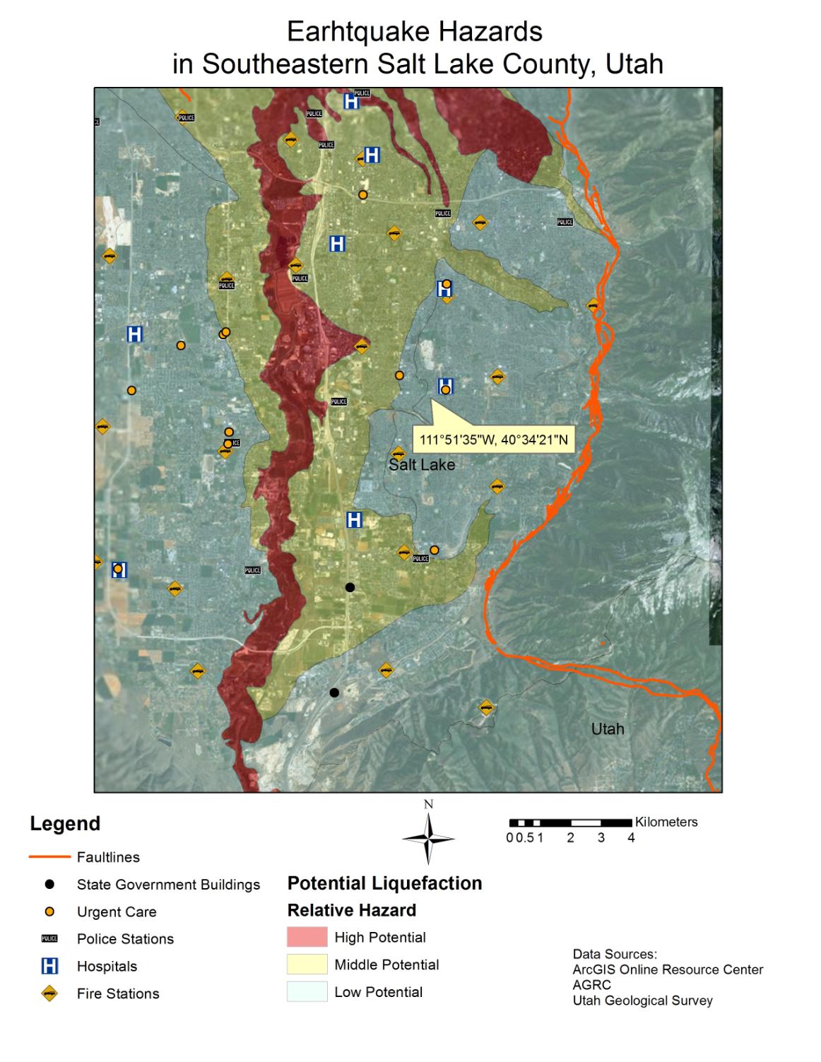
Question 1: What potential problems do you see in terms of the spatial distribution of hospitals, police stations, and fire stations in Salt Lake County, Utah compared to the fault lines and potential liquefaction zones? How about transportation networks? How would that affect emergency response crews?
Question 2: How close (in miles) do you live, work, or go to school near a fault line and what liquefaction zone are you in? What potential hazards might you expect during or following an earthquake along the Wasatch Front?
 |
||||||
 |
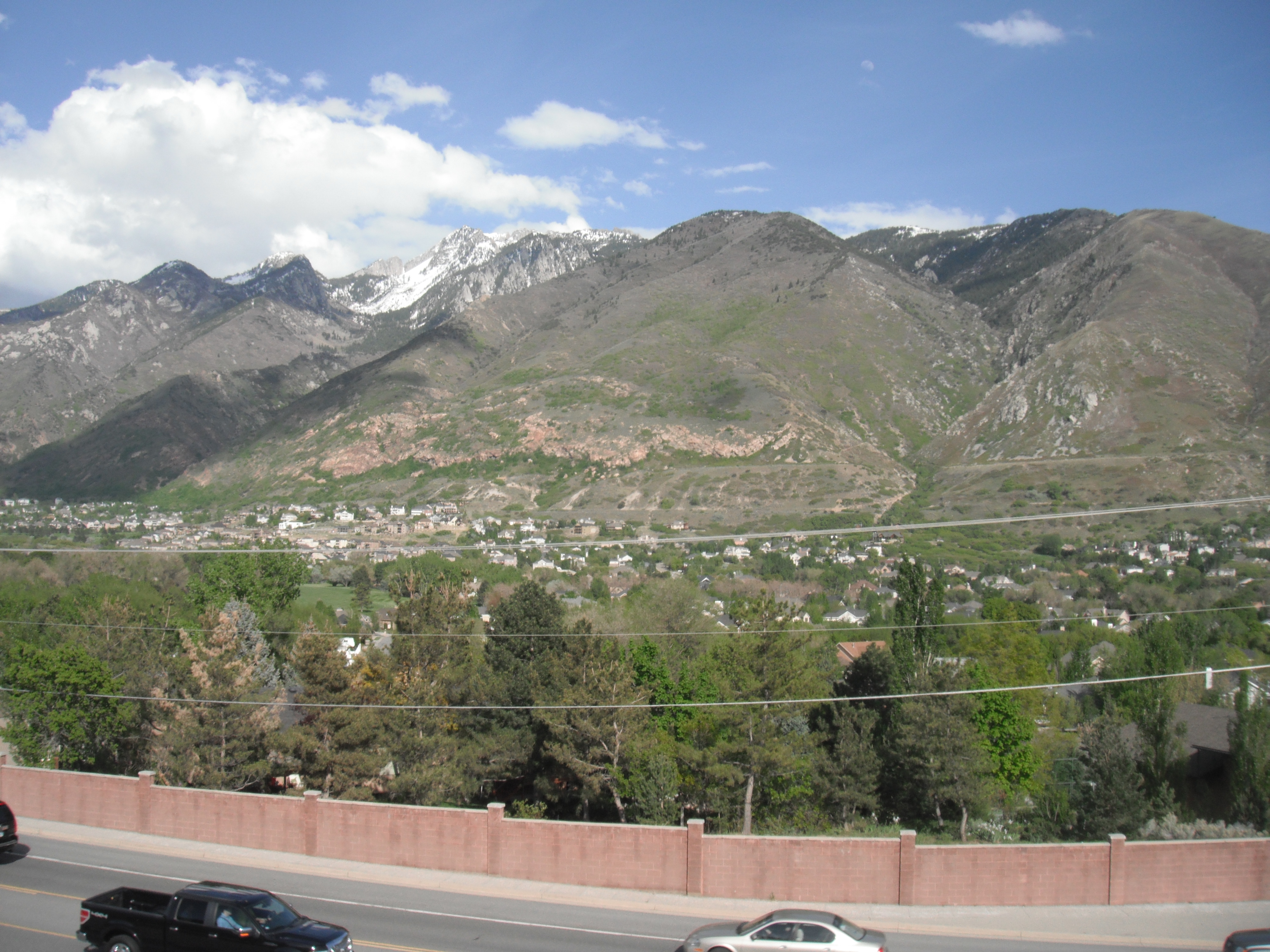 Above you can see the Wasatch Mountains just to the east of Sandy, UT. Evidence of earthquakes is visible in the exposed rock where the land has shifted. This type of geological phenomenon can be seen all over Salt Lake County. |
 |
||||
